

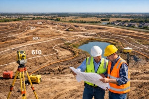
Topographic Surveys in Texas: Why Developers Can’t Afford to Skip This Critical Step
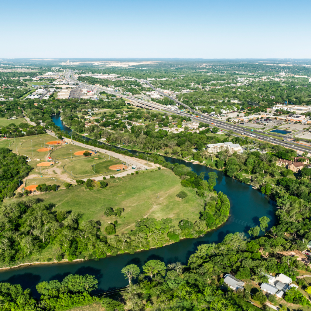
A topographic survey in Texas is a detailed mapping process that identifies both natural and man-made features on a piece of land. Unlike a basic

A topographic survey in Texas is a detailed mapping process that identifies both natural and man-made features on a piece of land. Unlike a basic
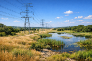
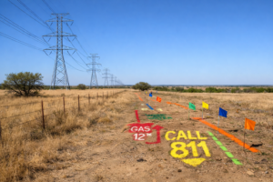
In Texas, utility easements are foundational to powering communities and enabling growth. But buried beneath power lines, pipelines, and telecom corridors lies an often-overlooked challenge:
Texas landowners and developers often find themselves navigating the complexities of utility easements, which is the legal right for utility companies to use portions of
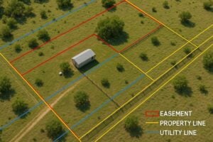
In Texas, where sprawling development intersects with critical infrastructure, understanding utility easements is essential for every landowner. One of the most common (and costly) legal

Introduction: Celebrating Trisha Lund-Wittig If you haven’t heard yet, Trisha Lund-Wittig of WLG Surveying Solutions, LLC has been named “Surveyor of the Year” — and
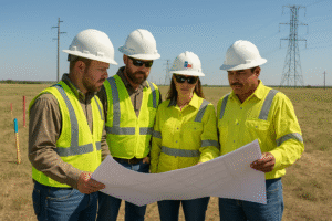
In Texas, right-of-way (ROW) work is never just about the land—it’s about managing risk. Every easement agreement, access corridor, and construction zone carries legal, financial,